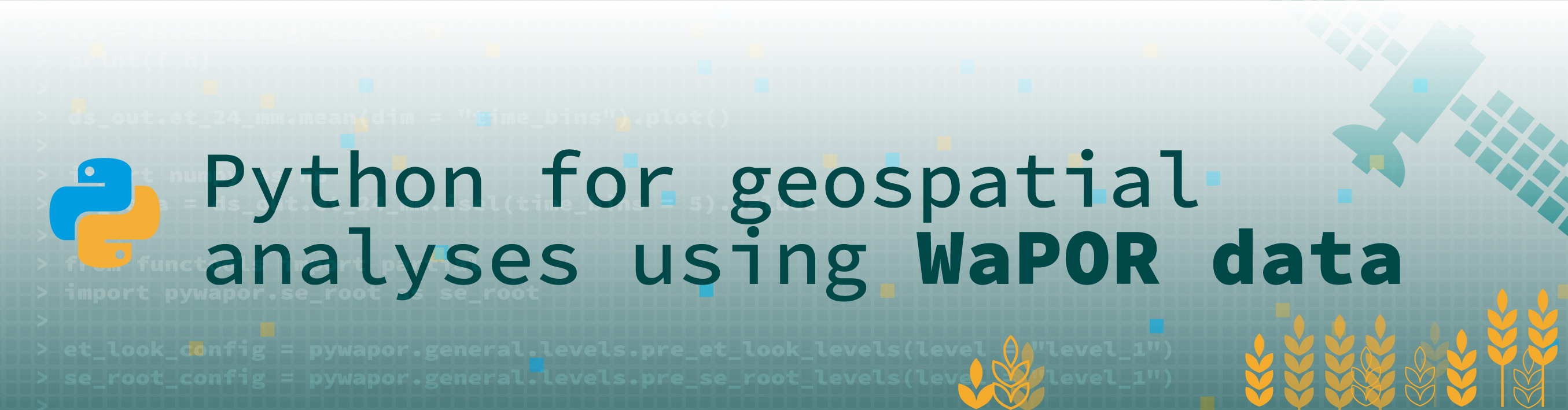
PyWaPOR OpenCourseWare
Section outline
-
Welcome
-
Welcome to the OpenCourseWare on pyWaPOR
pyWaPOR is a python based algorithm to compute high resolution evapotranspiration and total biomass production of large areas using remote sensing data. It was developed by FAO in the context of the project on 'Monitoring land and water productivity using remote sensing data' (WaPOR second phase). This material forms part of our Short Course on Remote Sensing for Agricultural Water Management (next edition 9-20 March 2026).
Here you can find some of our training materials on pyWaPOR, full access to all training materials is made available for all who participated in the short course. This page provides links to some of the available key open access materials on pyWaPOR.
Further information
If you are interested in doing a short course on this topic you may contact us: shortcourseregistration@un-ihe.org
If you are interested in the course but would like modifications in the content or date, you may be interested in our product: Solutions for water sector organizations. For this you may contact: TrainingAndAdvisoryService@un-ihe.org
-
PyWaPOR resources
The script and data manual of pyWaPOR are maintained by the Food and Agricultural Organisation of the United Nations (FAO). This information is available here.
A quick overview on how to run pyWaPOR is available here.
Our repository WaPORIPA contains python scripts to process the pyWaPOR outputs and to calculate various irrigation performance indicators using this data.
-
Information Short Course
The short course Remote Sensing for Agricultural Water Management covers the application of remote sensing techniques to assess the performance of irrigation by estimating water use (Evapotranspiration) and agricultural production (crop yield/biomass). The course is designed to allow participants to apply the skills developed on their own case study. Participants will learn from data acquisition to retrieving key information on land and water use through lectures and connected hands-on exercises.

Learning objectives
- Apply a remote sensing based approach to estimate high resolution actual evapotranspiration and biomass production
- Explain the use of remote sensing in assessing water use and biomass production in agriculture
- Conduct irrigation performance assessment at a scheme level using indicators such as water productivity, adequacy, beneficial fraction and equity
Prerequisites
Good computer skills, experience in spatial data analysis and remote sensing. Understanding of the concepts of agricultural land and water use.
Required skills: Preferably QGIS (or other GIS software); Microsoft Office (Word, Excel, PowerPoint)
For basic python for geospatial analyses you are referred to our online open access course (pre-requisite for the short course)
-