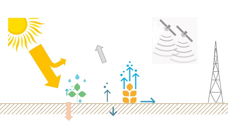
This course aims to provide a better understanding of the theoretical concepts used to generate remote sensing based data on evapotranspiration and biomass production including their limitations. Specific attention will be given to the WaPOR database and how to do a systematic validation of the data.
The course is organised into three modules:
- Module 1: “Concepts of remote sensing ET (energy balance, FAO-56 PM)”
- Module 2: “WaPOR database: structure, input data, and methods”
- Module 3: “Validation of WaPOR database products”
A certificate of completion can be obtained after completing all assignments.
Target Group: Early and mid-career water professionals with a technical background and a strong interest in new techniques for water use monitoring.
Pre-requisites: Preferably a relevant water and/or environmental science (agriculture, remote sensing, geoinformation, geography, or any other relevant) degree; basic working knowledge of spatial data and analysis techniques. Good command of the English language is required.
Recommendation to have completed module 1 of the OpenCourseWare on Water Productivity and Water Accounting using WaPOR or the new courses 'Introduction to WaPORv3' before starting this course.
Course is available since June 2023