This training primarily focuses on providing online technical instruction on Water Productivity (WP) and Irrigation Performance Assessment (IPA)for the Mwea irrigation scheme using FAO's WaPOR data. It begins by introducing the concepts of IPA, Python programming for downloading WaPOR data, and performing geospatial analyses with it. Participants will also learn to use tailored Python scripts for IPA within the Mwea irrigation scheme and how to publish results on a dashboard. Trainees should have a basic understanding of remote sensing data and GIS. Based on a needs assessment, a few days of in-person training may be organized toward the end of the program.
- Module/Course coordinator: Solomon Seyoum

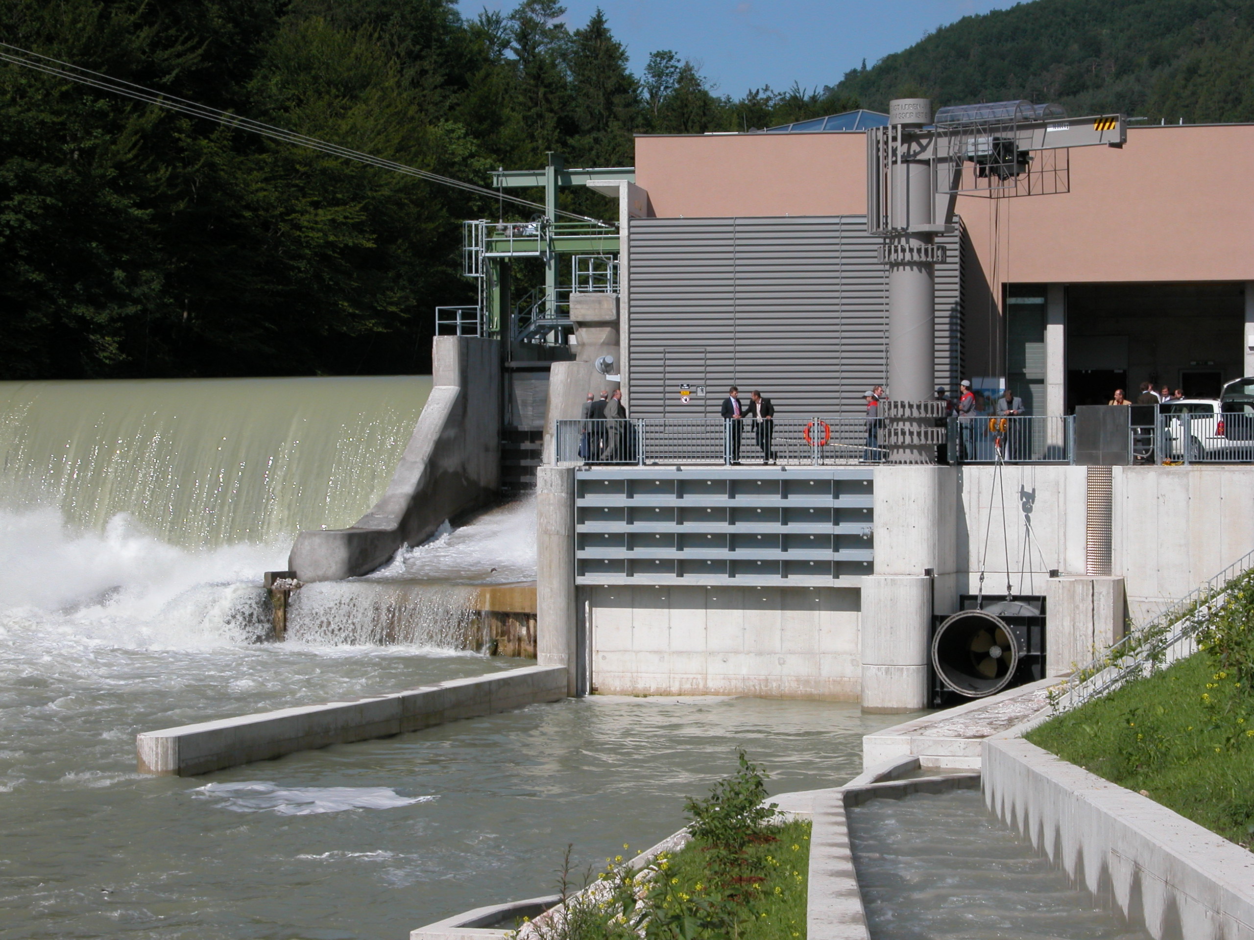
Learn the basics of QGIS through applications for hydrology and water management
- Module/Course coordinator: Hans Kwast, van der
Resource management and regional policies; WEF Nexus assessments; Networking and mentoring
- Module/Course coordinator: Sara Masia

Resource management and regional policies; WEF Nexus assessments; Networking and mentoring
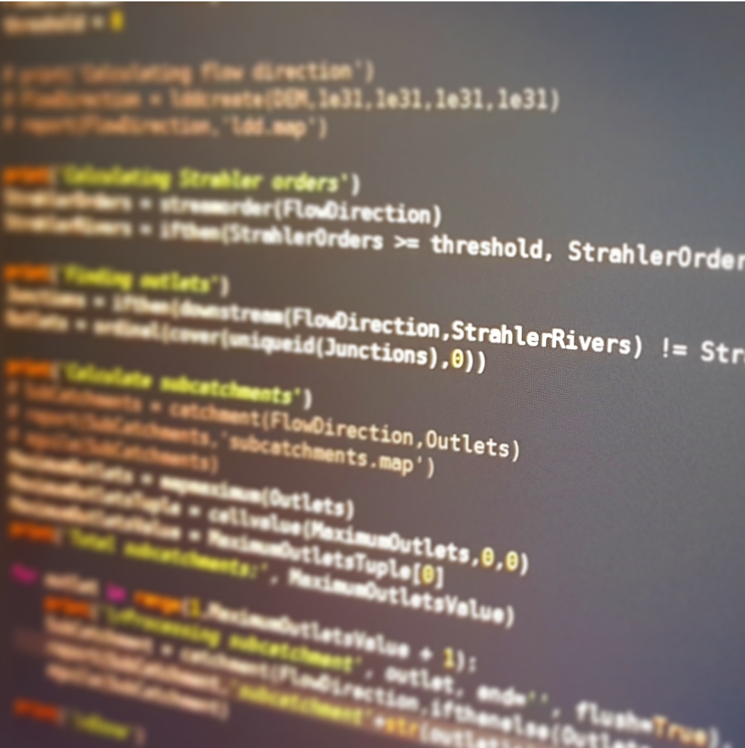
This course provides recipes for catchment hydrology and water
management, and introduces new QGIS plugins, features and datasets that
greatly improve the workflow and user experience.
Objectifs d'apprentissage:
- Gérer les fichiers et dossiers à l'aide de la ligne de commande
- Utilisez GDAL à partir de la ligne de commande pour convertir les formats SIG et reprojeter les fichiers SIG
- Utiliser la ligne de commande pour le traitement par lots
- Faire des scripts en Python
Conditions préalables:
- Connaissance des SIG, des données spatiales et des projections
- Module/Course coordinator: Miroslav Marence